Bergen update in Google Earth and Google Maps

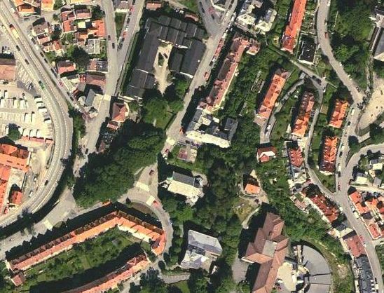
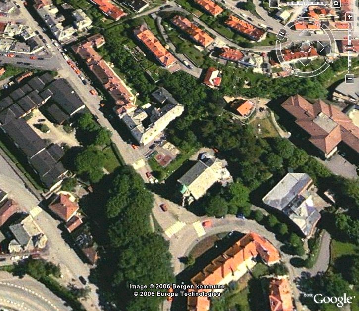
Finally I can see the house I am living in (and everything else around me) clearly in Google Earth (upper and lower picture from Bergen town centre and my flat, respectively) and Google Maps (middle picture, my flat)!
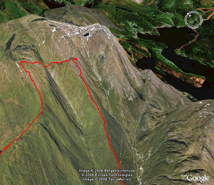
This is quite fantastic for how I can use Google Maps and Google Earth daily. Now I can plot my training from my GPS directly in Google Earth. I can put my photos into Google Earth at excactly the correct place. And so on. The only problem is that the altitude information for the Bergen area is quite poor, so the 3D terrain views are not so fantastic as they could be as the lakes and fjords climb up the mountains;)
Below you see the GPS track from part of a hike at Haugsdalshorgi/Toro this spring. With this new imagery, it looks a lot better than previously!
posted by Jan Kocbach @ 9/09/2006
![]()

1 Comments:
At 02 oktober, 2006 10:18, Anonym said…
Hei. Virker som 3D terrenget er bedre sør i Bergen...
Legg inn en kommentar
<< Home